Panama Canal - Panama City (sitios de interés)
Descripción del sitio
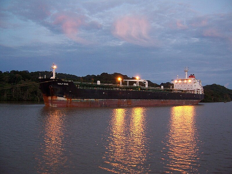
Photo By Nat Edwards [Public domain], via Wikimedia Commons
The Panama Canal (Spanish: Canal de Panamá) is a 77.1-kilometre (48 mi) ship canal in Panama that connects the Atlantic Ocean (via the Caribbean Sea) to the Pacific Ocean. The canal cuts across the Isthmus of Panama and is a key conduit for international maritime trade. There are locks at each end to lift ships up to Gatun Lake, 26 metres (85 ft) above sea level. Gatun Lake was created to reduce the amount of work required for the canal. The current locks are 33.5 metres (110 ft) wide. A third, wider lane of locks is currently under construction and is due to open in 2015.
France began work on the canal in 1881, but had to stop because of engineering problems and high mortality due to disease. The United States (US) later took over the project and took a decade to complete the canal in 1914, enabling ships to avoid the lengthy, hazardous Cape Horn route around the southernmost tip of South America (via the Drake Passage) or to navigate the Strait of Magellan. One of the largest and most difficult engineering projects ever undertaken, the Panama Canal shortcut made it possible for ships to travel between the Atlantic and Pacific Oceans in half the time previously required. The shorter, faster, safer route to the US West Coast and to nations in and along the Pacific Ocean allowed those places to become more integrated with the world economy.